Sunday, 10 May 2015

Day 15 - Alston to Lowtown (193 miles completed)


Today was dry!  No Rain!
However, 9 miles of boggy marshland was no fun, so we limited the photos to 
mainly the end of the day which was the only good bit..... Hadrians Wall!!!
The worst bog at Black Hill had water up to our shins in many parts, so it was a wet feet day!

Introducing "Sherpa Nettie"!!

Passing through Kharsdale

Time for a dip!

We are still having fun.

This was lunch...... Toby and Sharon having a cuddle!

Onward to more marshland!

More marsh land!!!!

Respite between bogs!

..... and more marshland, i.e. BOG!!!

"Please help me over this style mum!"

We were dodging trains approaching Greenhead!!

We came across Third Well Castle as we headed towards Hadrians Wall.

The impressive Hadrians Wall.  The only good bit of the day!

Those Romans could build a wall!!!


Saturday, 9 May 2015

Rest Day Number 2


No Alarm Clock today!!!!!

Sherpa Clare left to return to Somerset. Our grateful thanks to her.

And we are joined by Sherpa Nettie!   .....she has no idea what she's let herself in for......

Well, last week was a very tough one for us with atrocious weather which created some grim conditions, but we weren't defeated!

On to our final week now and we will see what this throws at us!

Our quote for this week is as follows:


Friday, 8 May 2015

Day 14 - Great Dun Fell to Alston - 16 Miles

Woke up to another day of sunshine!

We set off for 10 miles across the moors

"Where are they going without me?"

"Why can't I go?   When will they be back?"


No fog....  best foot forward..... with a smile

We were climbing to Cross Fell which is the highest point at 2930ft.  This of course, on such a stunning day, resulted in great views

In the distance, the Lake Districk

Cairns were dotted all the way up to the summit

Ahead lies Cross Fell, the highest point.

The view from the top is breathtaking.

And now we head down.  Miles and miles of nothing!

There is still snow at the top of some of the fells.  This is the coldest part of the North Pennines.

We headed down to gentler scenery as we went from Garrigill to Alston

Style after style!  Get a move on Toby!

Toby wasn't impressed with all these styles.  They're hard work!

This was definitely the "Aaahhhh" factor of the day!


Thursday, 7 May 2015

Day 13 - Cow Green Reservoir to The Great Dun Fell - 16 miles (160 miles in total)

Guess what??  It's not raining!!!!!!!


We started out from Cow Green Reservoir this morning in high spirits and looking forward to a dry day.

The rivers had significantly dropped their levels.
We crossed over Maize Beck and headed towards High Cup Nick which is said to be the most spectacular view on The Pennine Way

It didn't disappoint.  It is absolutely spectacular!

We stayed for a while to enjoy the view.

Sharon, mesmerised by the view.

We continued our journey around to the other side.  It was equally as breathtaking.

Another video view down the valley

Toby enjoyed the view too!!

This scenery was the highlight of our day!

At the end of High Cup Nick we could see the Lake District in the distance.

We commenced our decent down Peeping Hill.  Although the sky was blue and the sun was out, it got windier and windier!

Trying to stay on your feet was becoming a challenge.

First "selfie" of the day.  Look, no hoods!!!!

Second "selfie" of the day.  It was definitely colder and windier.  Was Sharon off to the Himalaya's!!!!

Onwards through Dufton and on to Dufton Pike.

The masts at Great Dun Fell

Spectacular view from the top.

We thoroughly enjoyed our day today.  It made a huge difference walking in sunshine and not mist!

Wednesday, 6 May 2015

Day 12 - High Force to Cow Green Reservoir - 9 Miles (147 miles in total)

Guess what?   It was raining!!!!

..... and windy!!!!!

 A spectacular start to the day with the views of High Force waterfall

The video shows the force of the water as it comes through the falls.

This was probably the highlight of the day.  It went rapidly down hill after this.

All the paths were flooded and the surrounding areas were water logged.
This made our journey exceedingly difficult, and we didn't see anyone else on the trail today.

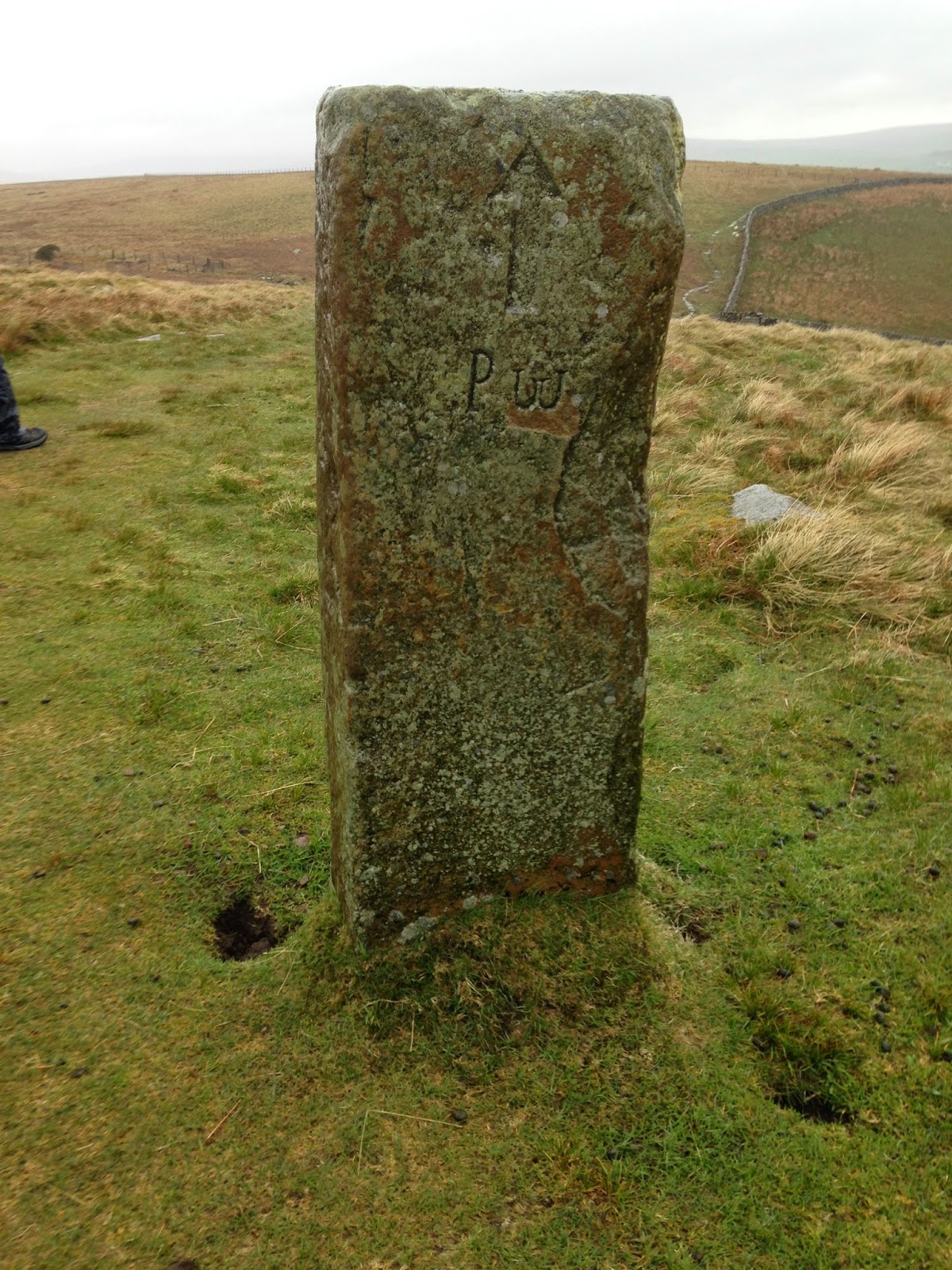
A Pennine Way marker confirmed we were on the correct route.


We have so had enough of this rain!!  On top of that, it's freezing cold and blowing a gale!

The rivers looked good though.


..... even though they were significantly wider than normal.

Our first major challenge - the path had gone!  Two feet under the river which made scrambling over these wet, slippery rocks particularly difficult.

We went around the corner to be confronted with exactly the same problem. No path!!  
It was in the river.

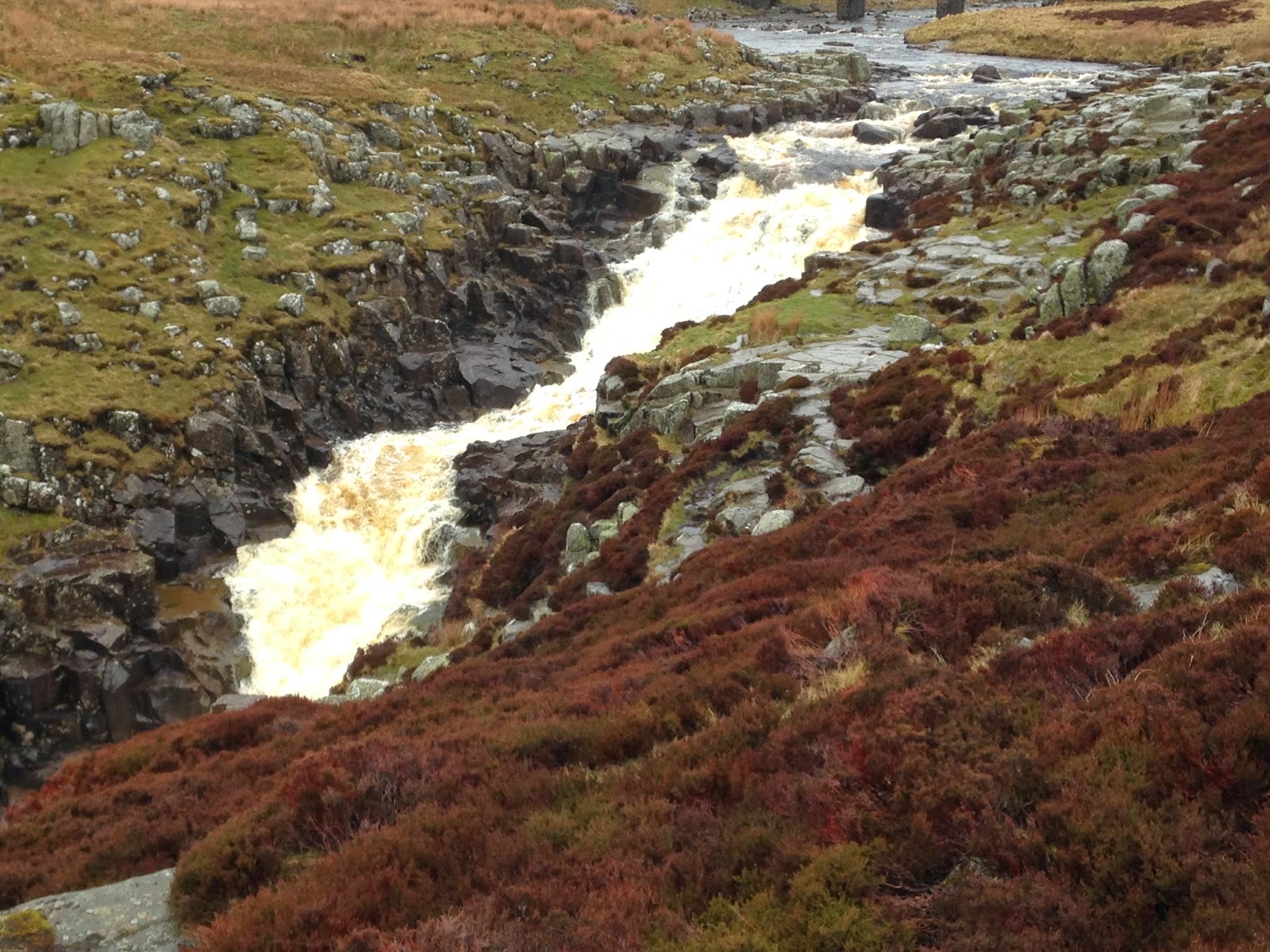
We very slowly made our way to the end, to be confronted by a huge waterfall called
Cauldron Snout.  The route was supposed to take us up the side of it, but it was too full of water
and far too dangerous, so we had to pick our own way up through the gorge, over the rocks and heather to the top whilst water poured down over us.  It was immensely scary and not to be recommended for vertigo sufferers. No other pictures I'm afraid, but we did manage this one at the top.

We were glad to leave this behind,however spectacular it is.

In front of us was Cow Green Reservoir Dam.


A very isolated place, but we knew that somewhere along here was Sherpa Clare!

With relief, we finally saw the car in the distance and looked back to see how far we had come.

Hoping for better weather tomorrow.